The balconi road: landscapes in the Riviera of Flowers
The balconi road: landscapes in the Riviera of Flowers
The balconi road is an itinerary through the beauty of the Ligurian landscape, a route to overlook some of the scenic spots of the Riviera of Flowers: iridescent sea, mountains, villages, olive groves and vineyards. Discover the beauty.
The Funtanin, Ventimiglia
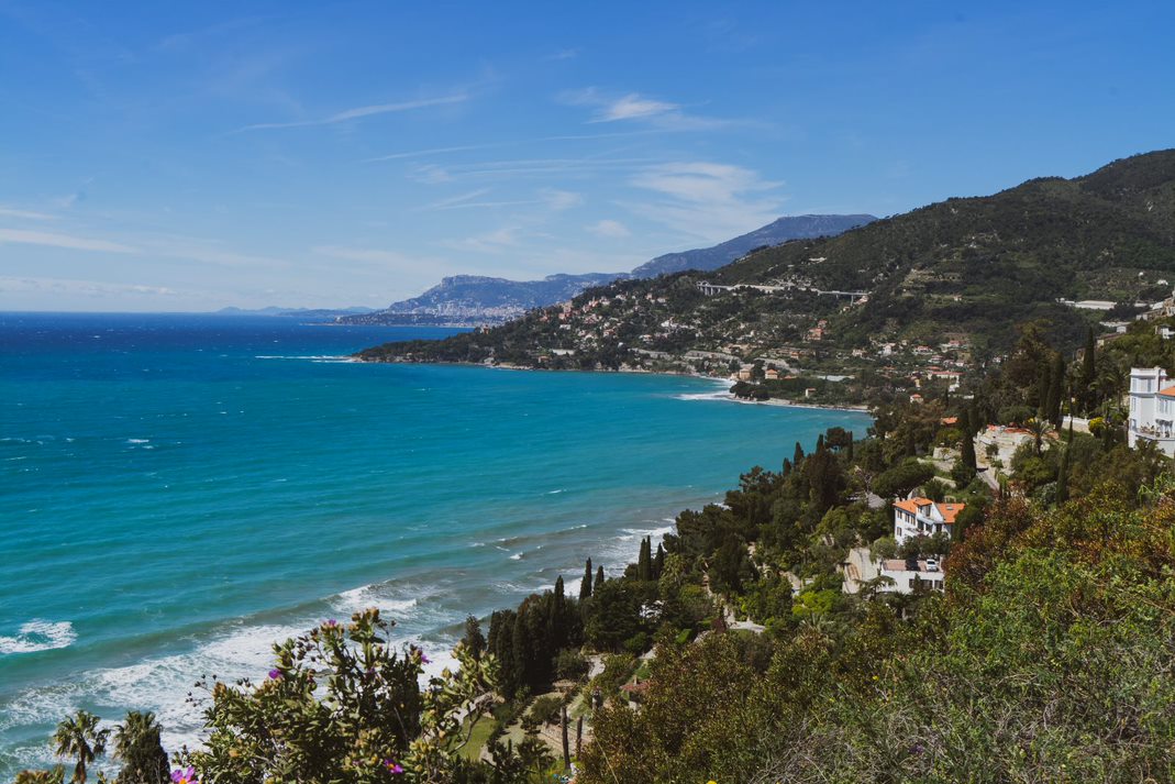
Overlooking the new marina, the balcony allows you to appreciate the passage from the high and jagged cliff, to the west, to the beach of Ventimiglia towards the east. Gateway to the medieval historic center, near the MAR Archaeological Museum in the Fort of the Annunziata, invites you to walk the stretch towards the French border, between gardens of prestigious villas, nurseries of floriculturists and crops. The stretch towards France has a rich Mediterranean vegetation in addition to exotic plants from the various gardens and botanical collections (including the Hanbury acclimatization gardens). From the Aurelia there is access to a lower path towards the caves and the prehistoric museum of Balzi Rossi and to a higher one with breathtaking views, towards the villages of Mortola Superiore and Grimaldi.
La Curva del Marzocco, Coldirodi, Sanremo
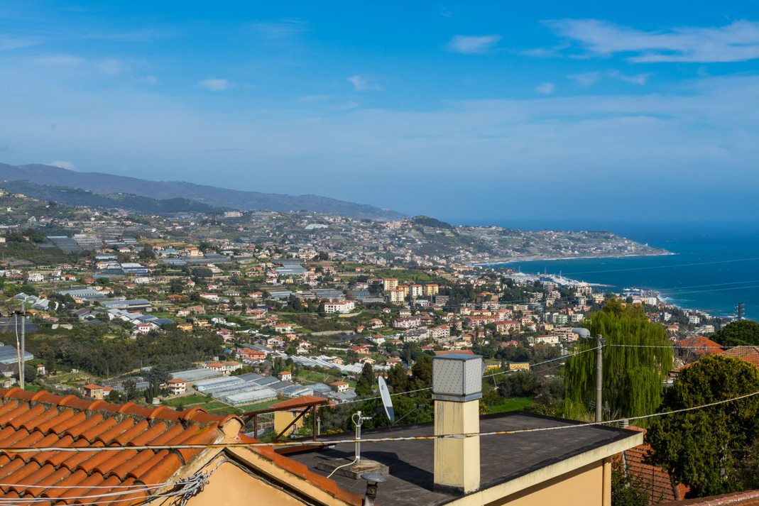
The crops, once citrus fruit, olive trees, vines and wheat, which have been replaced by greenhouse floriculture, are now in the process of further transformation. In a very varied situation, including disused greenhouses, new crops, orchards and vineyards, some innovative companies show strong dynamism and the ability to reinvent themselves.
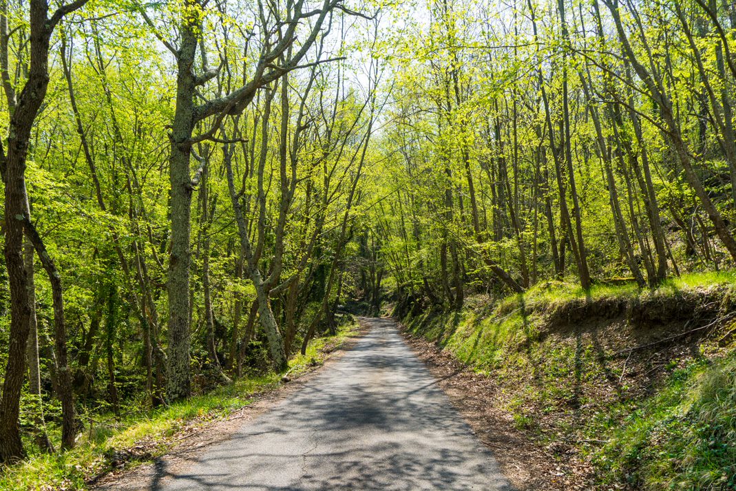
Above the motorway the landscape changes instead: the terraces are interrupted and the woods and the Mediterranean scrub appear with some outcropping rocks.
Castellaro
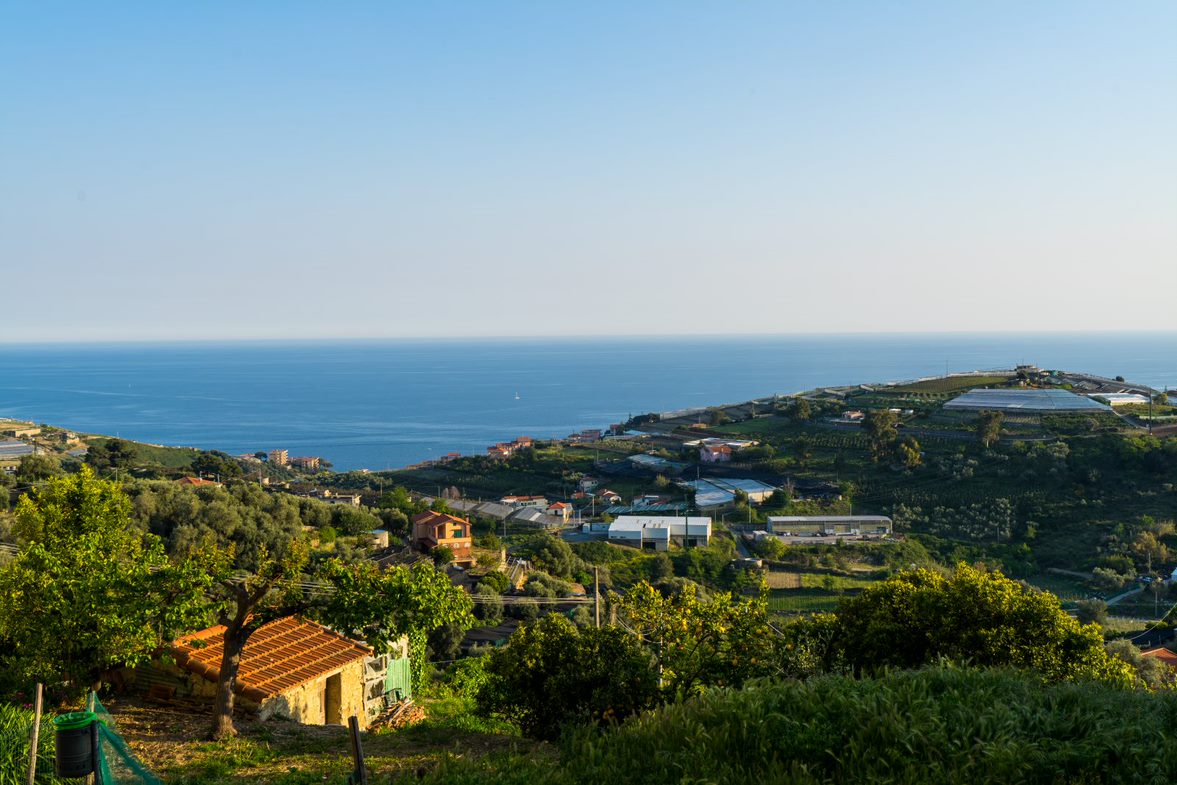
From the square of the parish church there is a double view of the Taggia valley and the smaller valley of the Rio Merla, with the village of Pompeiana in sight, which invites you to walk along the beautiful stretch of road to Terzorio (village of the “tower houses”). Between Pompeiana and Terzorio, along the paths that go up beyond the motorway, you can see walls, pillars, boxes and chapels of extensive terraced systems no longer cultivated.
Santa Brigida, Dolcedo
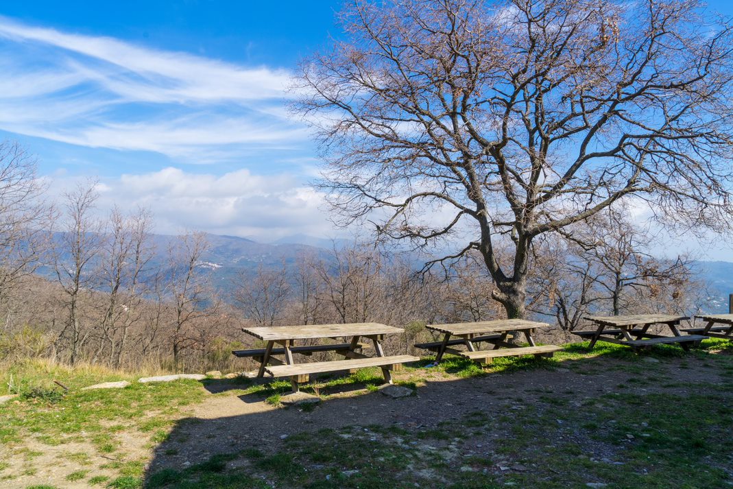
The landscape of the olive grove of the Prino valley and the San Lorenzo valley, with the village of Pietrabruna and the cultivated fields, with recent plantings (anemones, lavender, ..), gives way to the woods, in the higher parts, up to the watershed. Under the trees you can see very well the terraces of the wood, now abandoned, a sign of human activity. The rupestrian chapel of Santa Brigida, dating back to the 15th century, had a cistern that collected rainwater from the roof, used to water the numerous mules that transported hay from Monte Faudo and salt from the road that reaches Limone Piemonte.
Acquarone mountain, Vasia
Going up to the pass between Val Prino and Valle Impero, a crossroads between connecting paths and via del sale, you reach the strip of woods and meadows, above the olive groves, which in winter are highlighted by snow. Towards the Impero Valley, you can see the village of Lucinasco and, on the other side, the villages of Cesio, Torria and Chiusanico, all with sea views.
Going down a little, towards Lucinasco, you come to the first stop of the Acquarone widespread museum, with a small box near the road, with lavender plants in the surroundings.
Towards Val Prino the road plunges into the landscape of the olive grove and the dry stone walls of the Conca d’oro around Vasia and Dolcedo, with well-tended grove plants, in a magical atmosphere.
Diano Castello
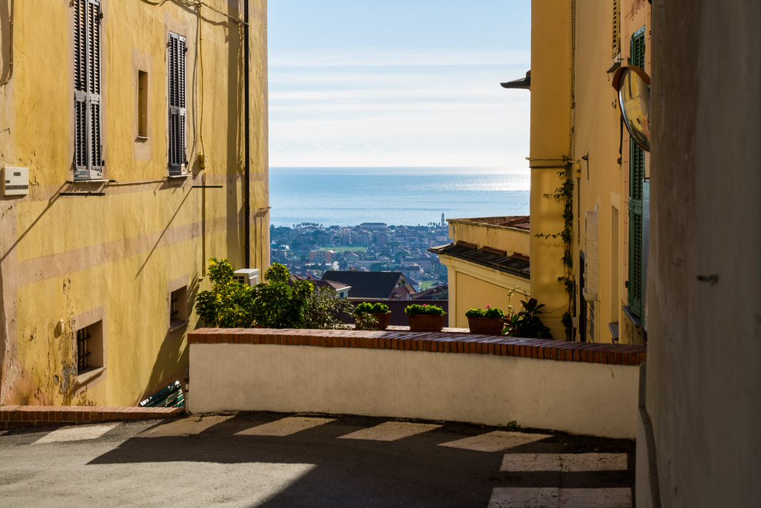
The fortified village, built on a terraced promontory between two valleys, is surrounded by vineyards, crossed by pergolas and citrus gardens, which then fade in the olive groves. Under the houses of the village there are the so-called “lone”, an interesting underground system of cisterns and tunnels, to collect rainwater.
Towards the east you reach Cervo, with the historic center perched and the church of the Corallini: behind the valley of Villa Faraldi is characterized by terraced olive groves.
La Torretta, Bonfigliara, Ranzo
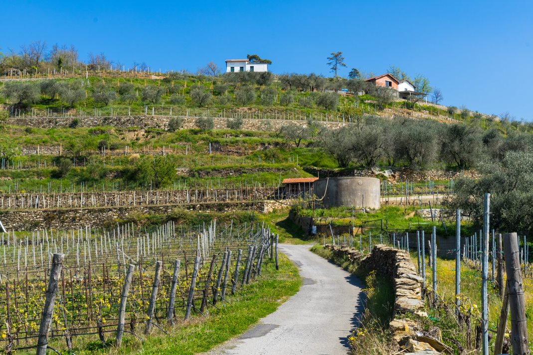
In the middle of the Arroscia valley, in a place suspended between the olive groves and vineyards of the most suitable area for Pigato (a characteristic Ligurian vine), in a clear atmosphere, you can see the sparkle of the sea looking towards Albenga, while in the opposite direction you can see the mountains of the Ligurian Alps, with snow for most of the year.
In this particular place in the summer evenings are organized musical evenings and events. A network of paths connects the valley floor with the high villages, towards the ridge. On the opposite side the wood cover is dense, while the position and the microclimatic characteristics of the left bank allow viticulture and mountain olive growing, with postponed harvesting compared to the Imperia valleys.
This itinerary is part of the “Pays Aimables” project, implemented by Interreg Alcotra, a European cross-border cooperation program that deals with the Alpine territory between France and Italy.
For more information: Pays Aimables – Balcony Road Liguria and Piedmont

